
Colorado Bend State Park
July, 2012
Colorado Bend State Park is located on the Colorado river just a few miles upstream from Lake Buchanan, Texas. Having said that, there's not a direct road from Lake Buchanan to Colorado Bend.
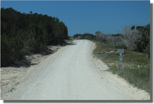
From Buchanan Dam, Tx, the best way to get to Colorado Bend is to go through Llano, then north on HWY 16 to Comanche, then right on FM 501/580, then 6 or so miles down a gravel road to arrive at the park headquarters - approximately 1.5 hours later.
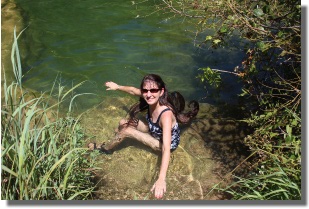
After we arrived at the park headquarters, we checked in and were told of a swimming hole on the downstream end of the park. Since the temperature was around 100 degrees the day we were there, this seemed like a good place to visit first.
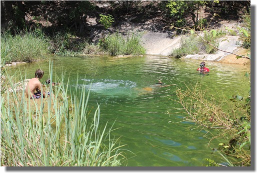
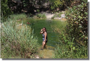
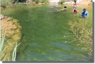
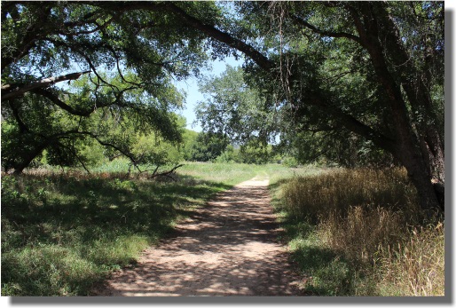
The trail from the parking area to the water hole is about 1/2 mile. It is about 50% shaded and there are several very impressive large oaks and pecan trees along the trail. We took several pictures of the trees, but the pictures don't do justice to the size and beauty of these large trees.
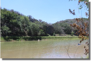
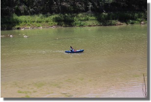
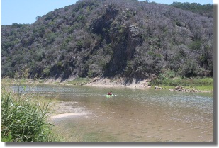
After returning from the waterhole, we walked to the Colorado river and watched a few kayakers paddle down stream. There is a boat ramp in the park, but at the time of our visit, it was closed due to low water.
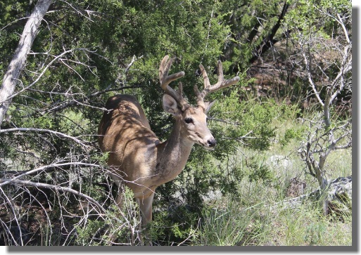
On our way to Gorman Falls, and towards the park exit, we were surprised by this little (velvet antlered) eight point buck eating leaves from the trees on the side of the dusty gravel road.
After arriving at the parking area for the Gorman Falls trail, we gathered our gear (cameras and water) and steadily headed down the 1.2 mile trail to the falls. It was over 102 degrees - the hike would have been more beautiful if the temperature had been cooler and we could have taken our time to enjoy nature along the way.
But we were determined to see the falls and decided to spend less time in the heat and more time at Gorman Falls, so we hiked steadily along the trail, stopping only for quick water breaks.
The last part of the trail to the falls is very steep and slippery, but there was railing installed along this section to help you down to the falls.
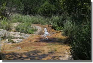
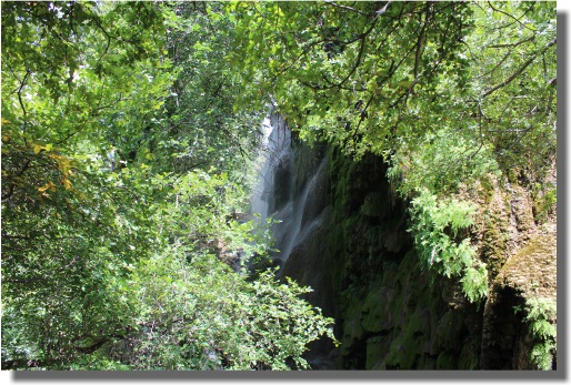
One of the first views of Gorman Falls is the upper view through branches of trees growing in the fertile moist soil of the falls. The falls is spring fed by Gorman spring.
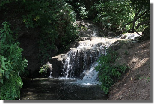
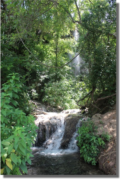
The picture above is a view of the falls as it enters the Colorado river. The picture below, shows the falls as it descends from the highest point to the lowest point.
The video below is an assortment of scenes of Gorman Falls and the surrounding area. We stayed in the falls area for over an hour viewing the many mini-falls that make up Gorman falls complex.
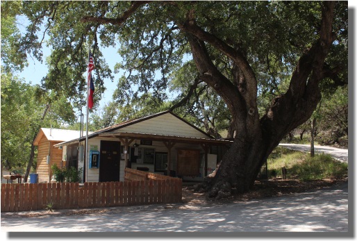
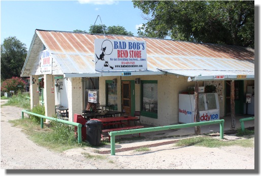
After exiting the park, we stopped at Bad Bob's Bend Store to cool off and relax. We sat on the patio and enjoyed ice cream and beer before heading back to Lake Buchanan, by way of Cooper's Barbeque in Llano, Texas.
For more information about Colorado Bend SP, check out the Texas Parks and Wildlife department website for Colorado Bend State Park.
What Next?
Leave Colorado Bend State Park and visit our home page


